50+
Projects Delivered
12+
Industries Served
8+
Countries
100%
Open Source First
What We Do
All services Geospatial solutions that move the needle
GIS Consulting
Strategic spatial analysis tailored to your industry
Remote Sensing
Environmental monitoring, change detection, and land classification
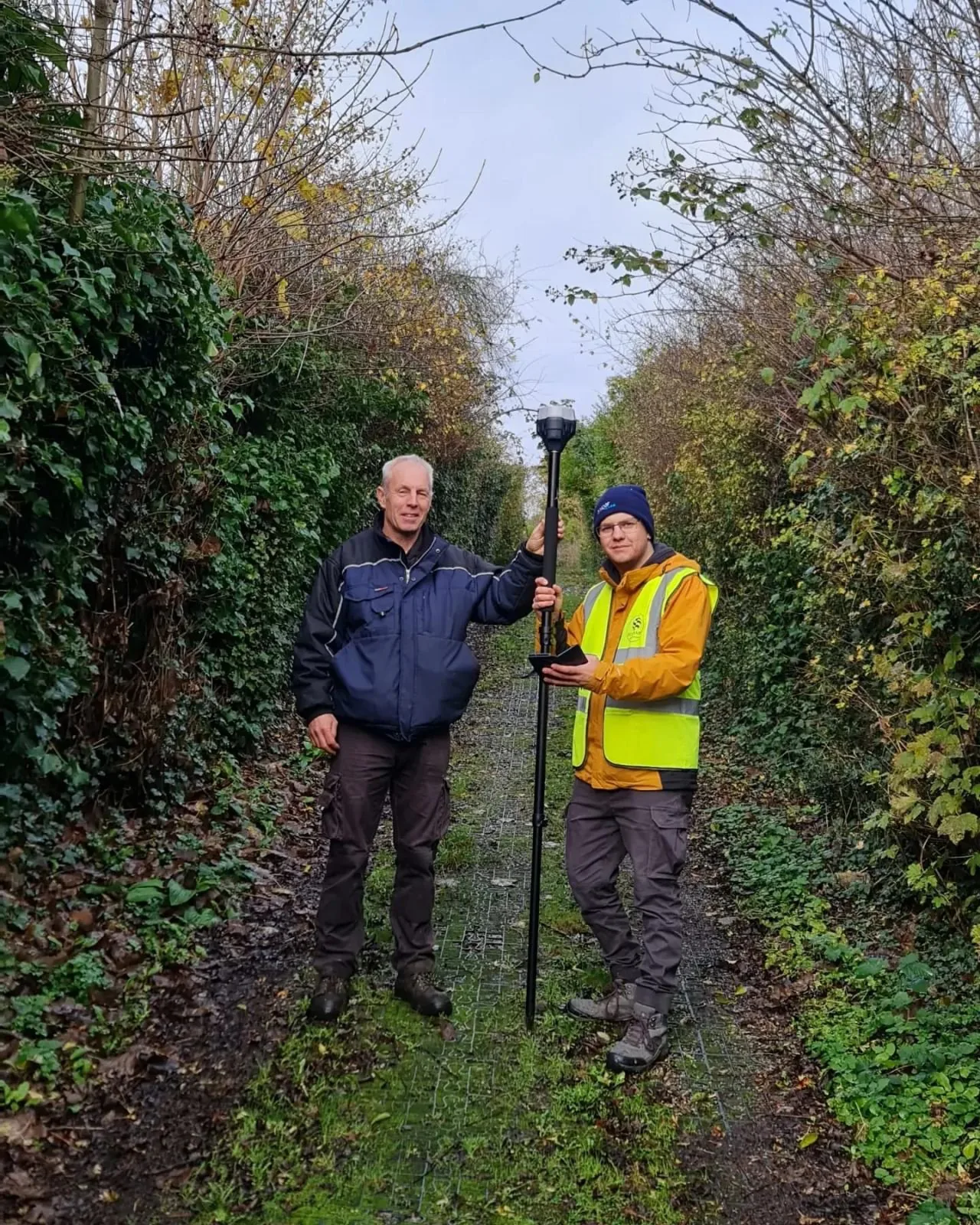
Spatial Surveys
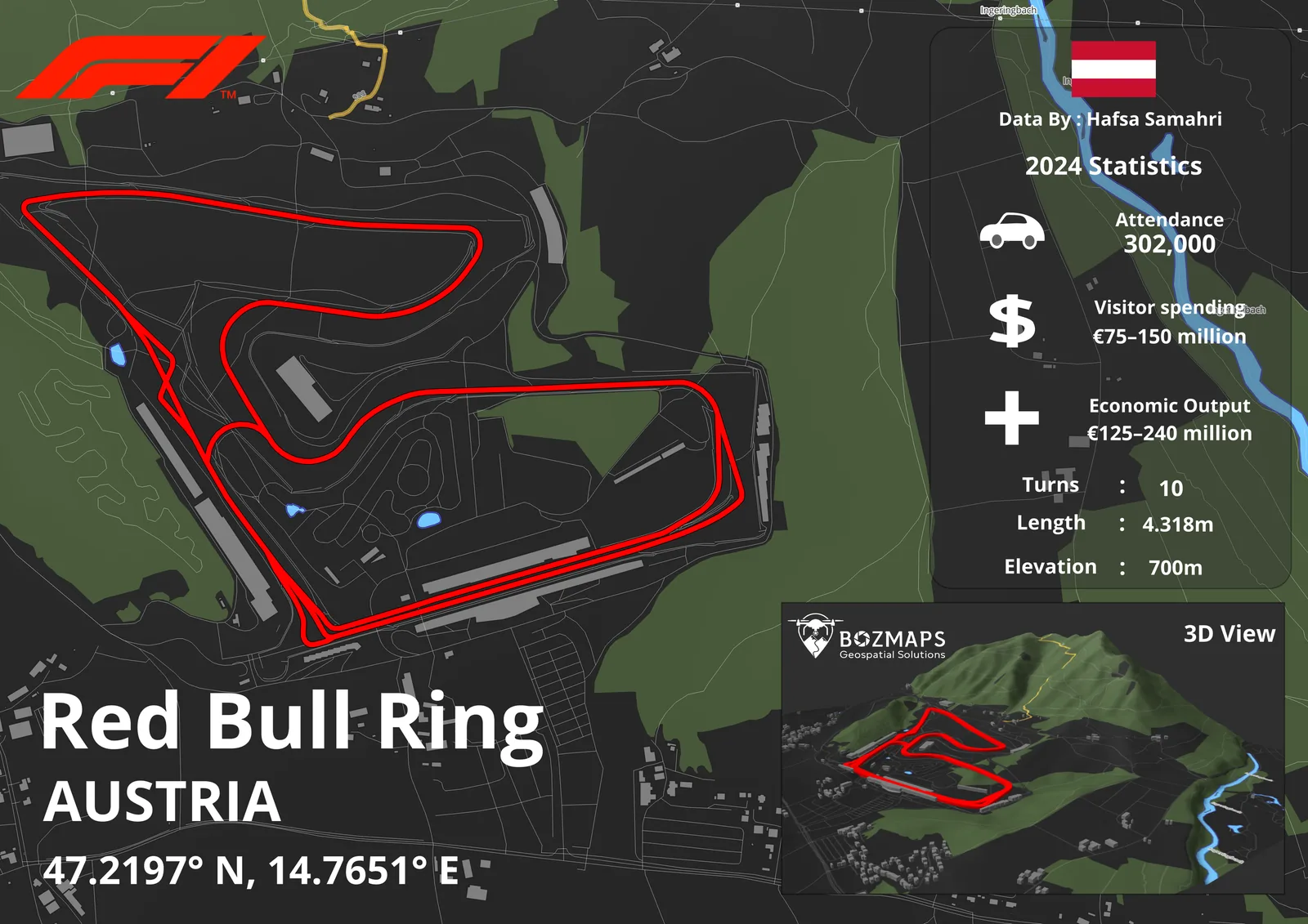
High-resolution site mapping, 3D modelling, and terrain analysis
Environmental
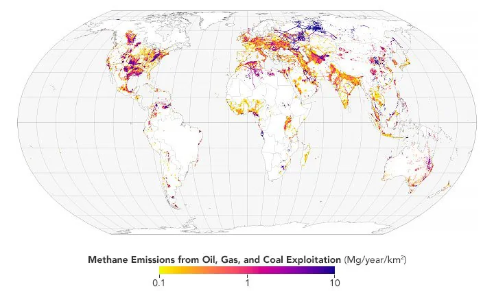
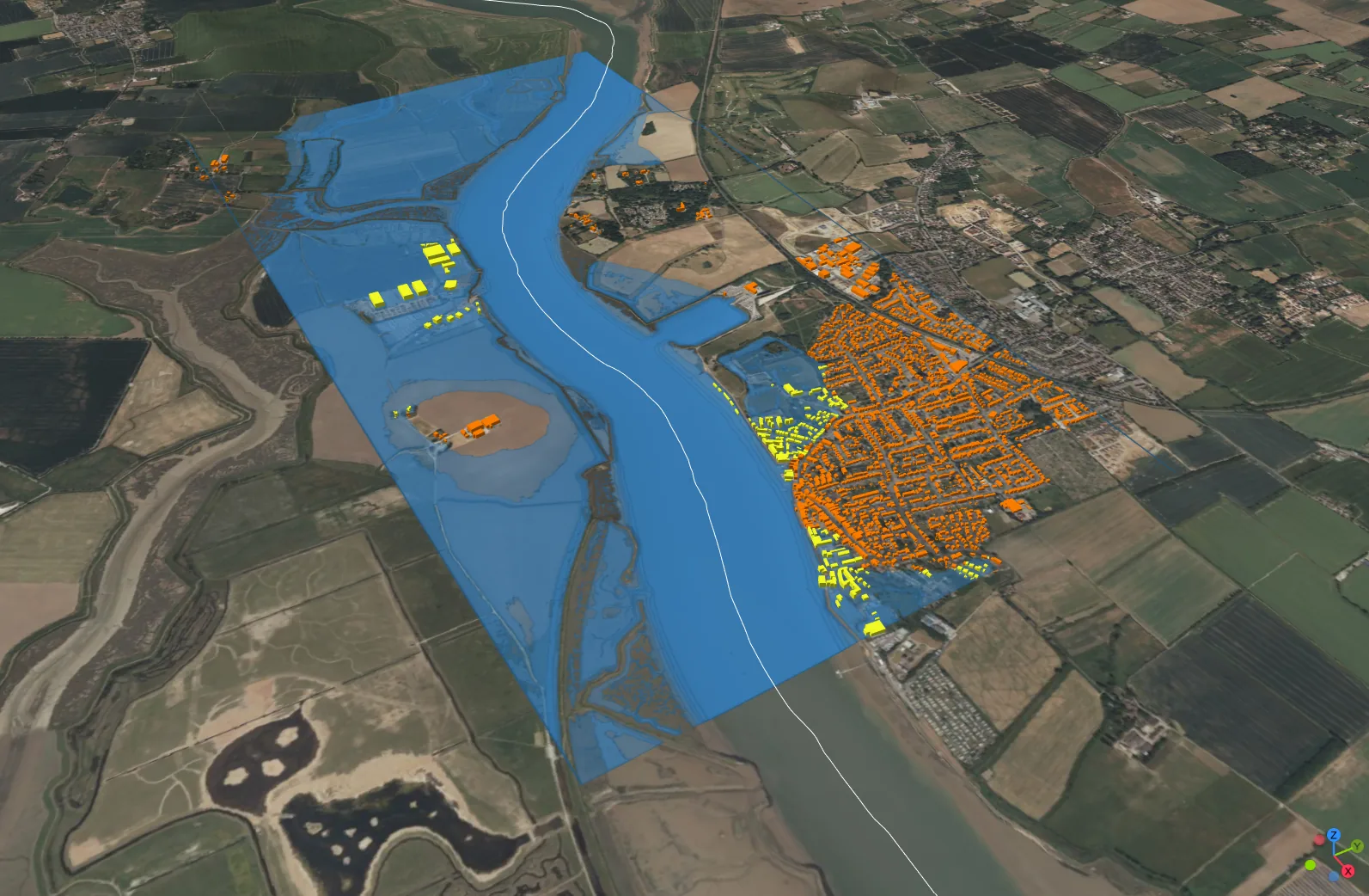
NDVI, flood risk, methane, and ecological assessments
Energy & Utilities
Asset management, pipeline routing, and infrastructure
Bozmaps Verified
Multi-source asset verification and location intelligence
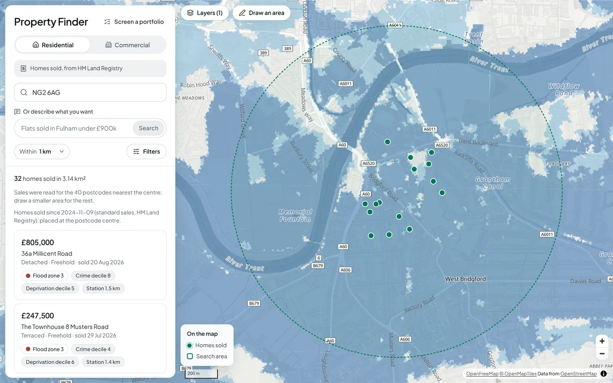
Bozmaps Platform: location answers from UK open data
Give a postcode or draw a site and get the answer on a map, with the figures, a report and every source behind it. Built for property, insurance, lending, planning, retail and EV charging teams.
- Flood and area risk check for any address in England
- Screening of up to 200 addresses at once
- Planning constraints, catchments and site finding, run for you as reviewed site reports
Our Work
View all projects