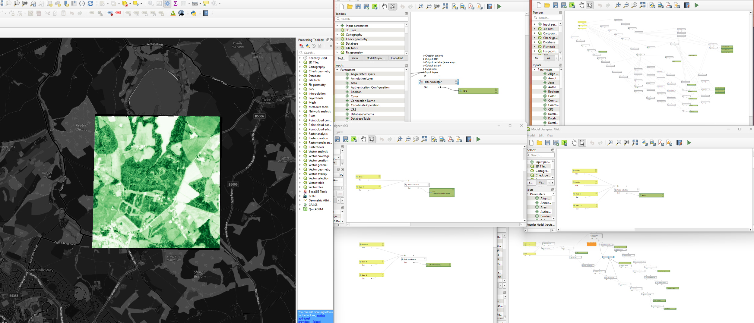
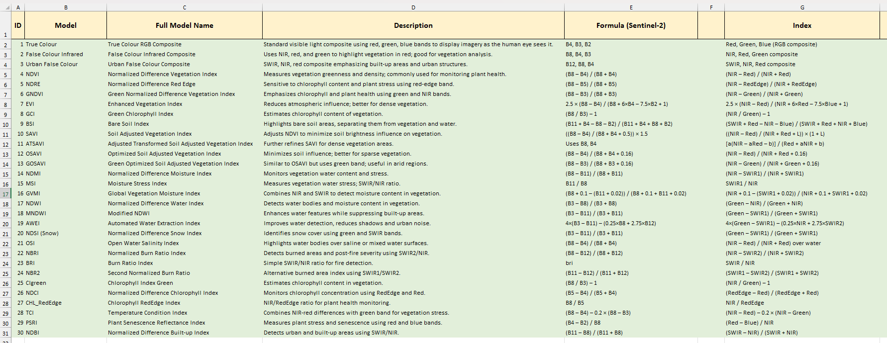
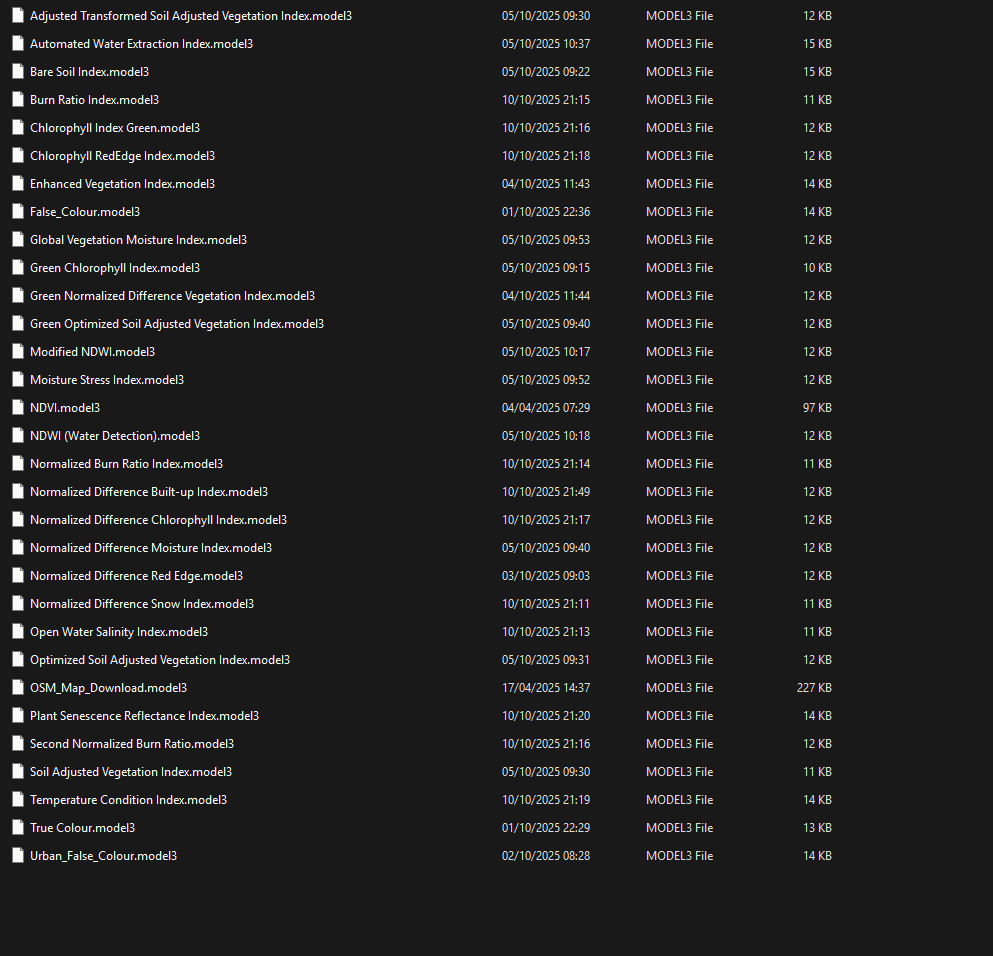
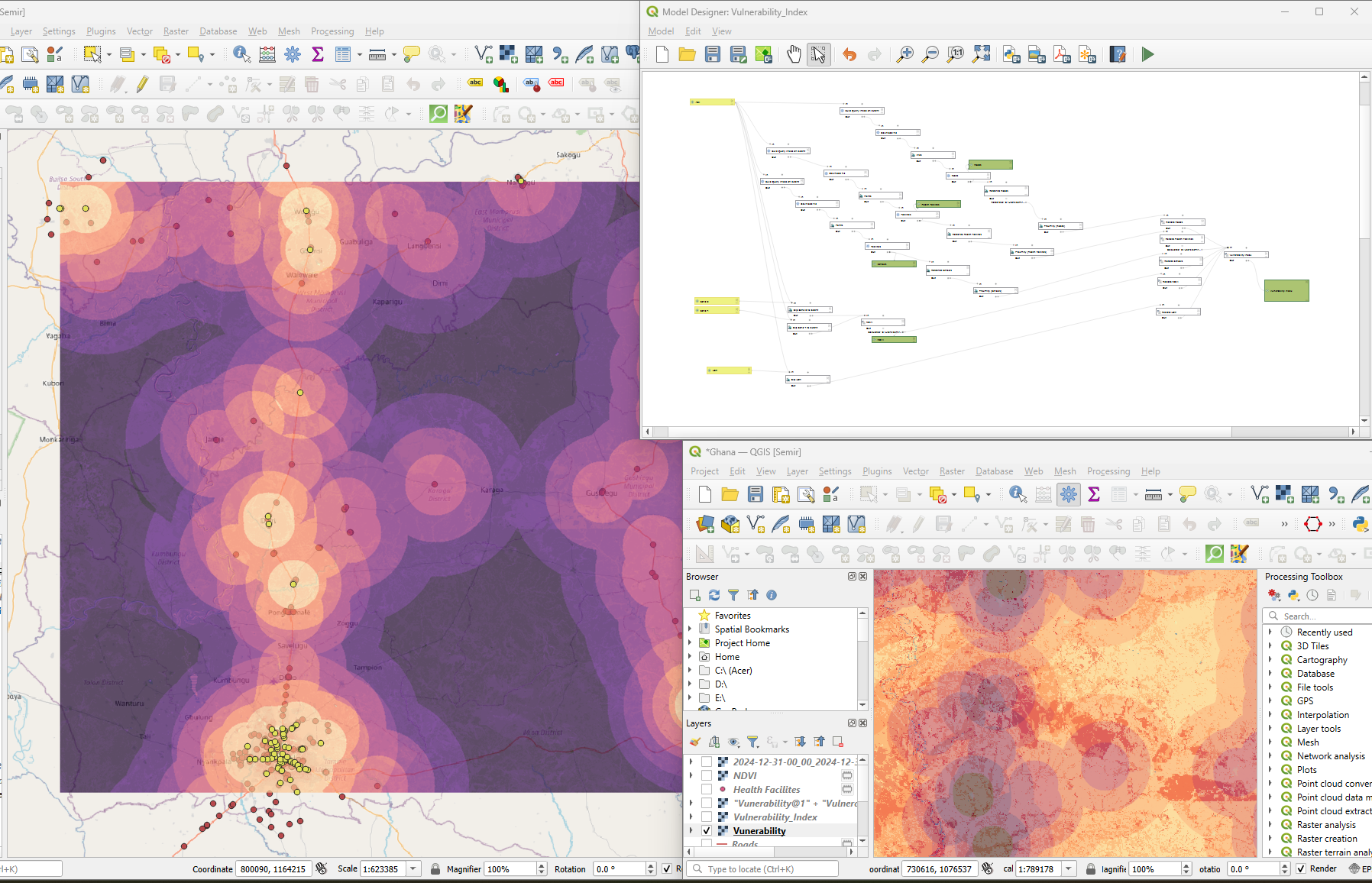
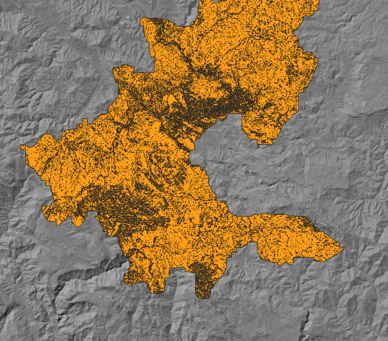
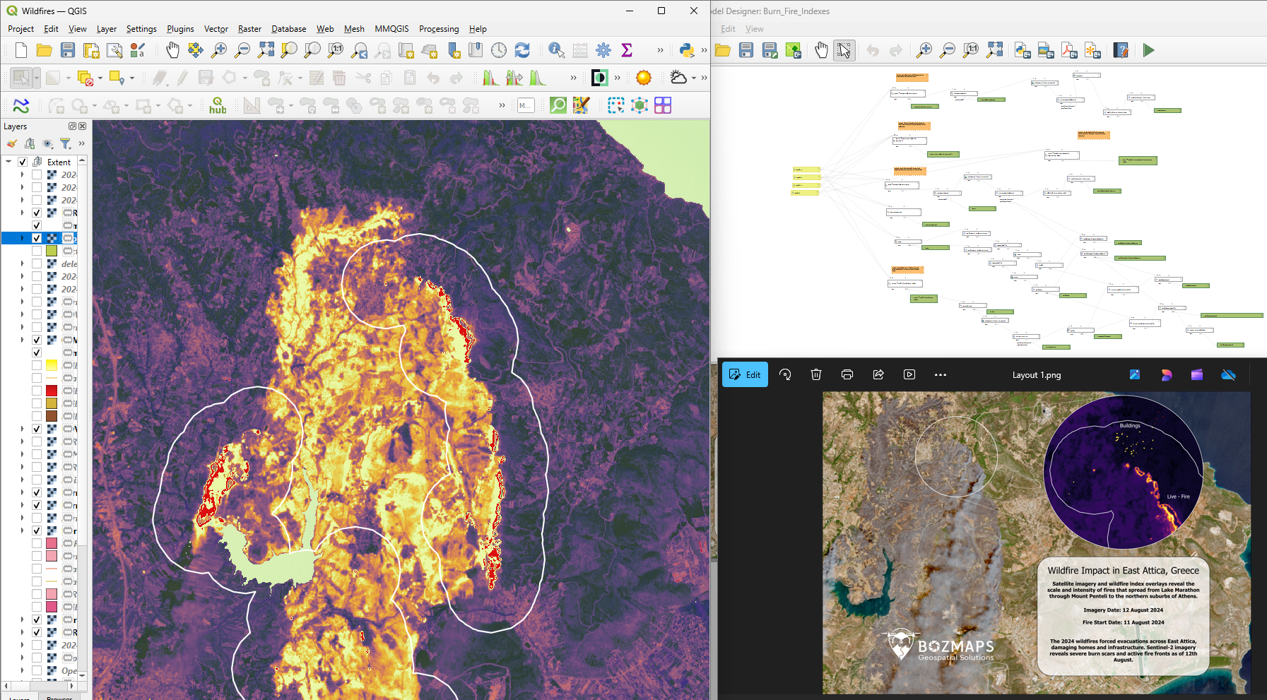
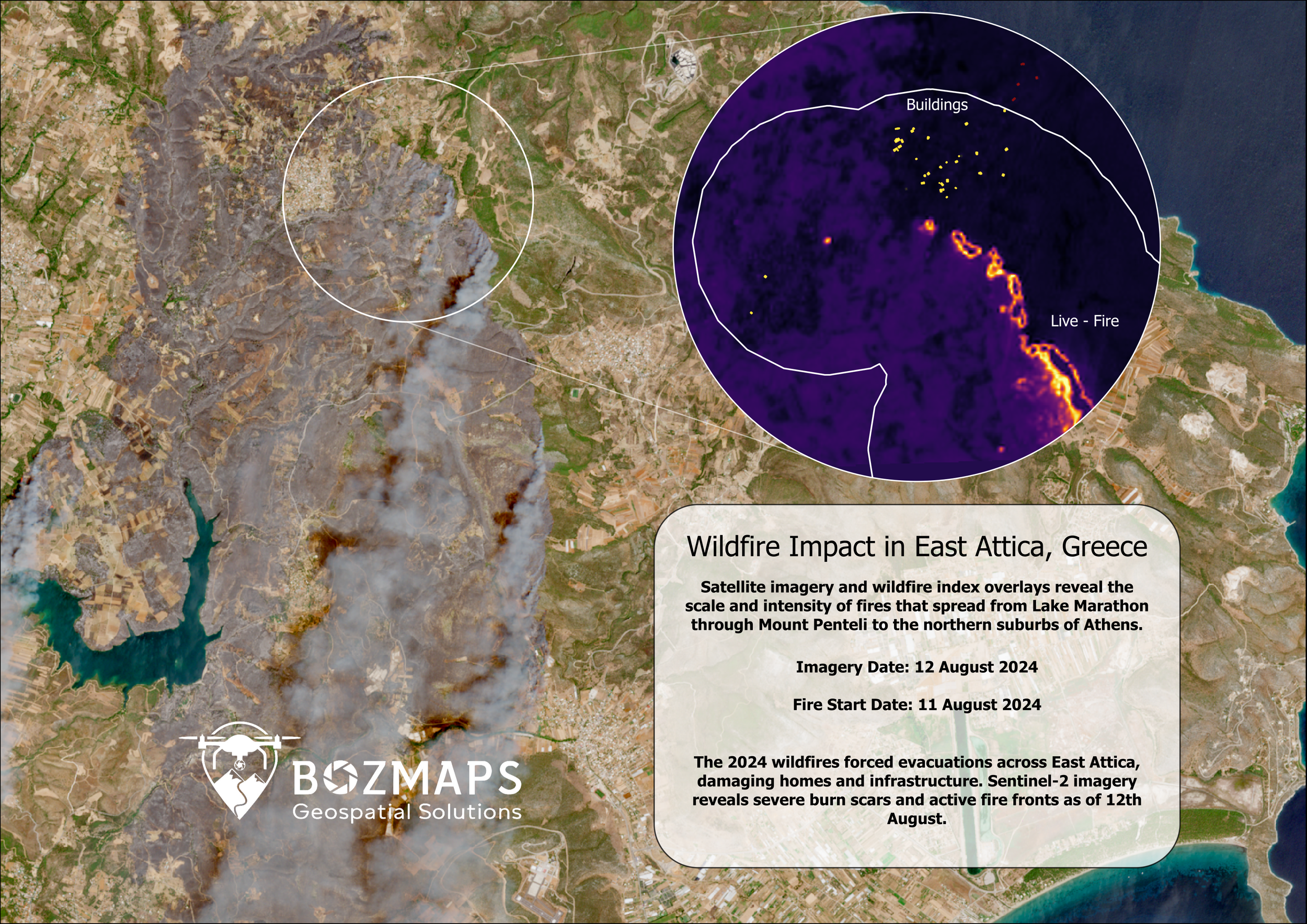
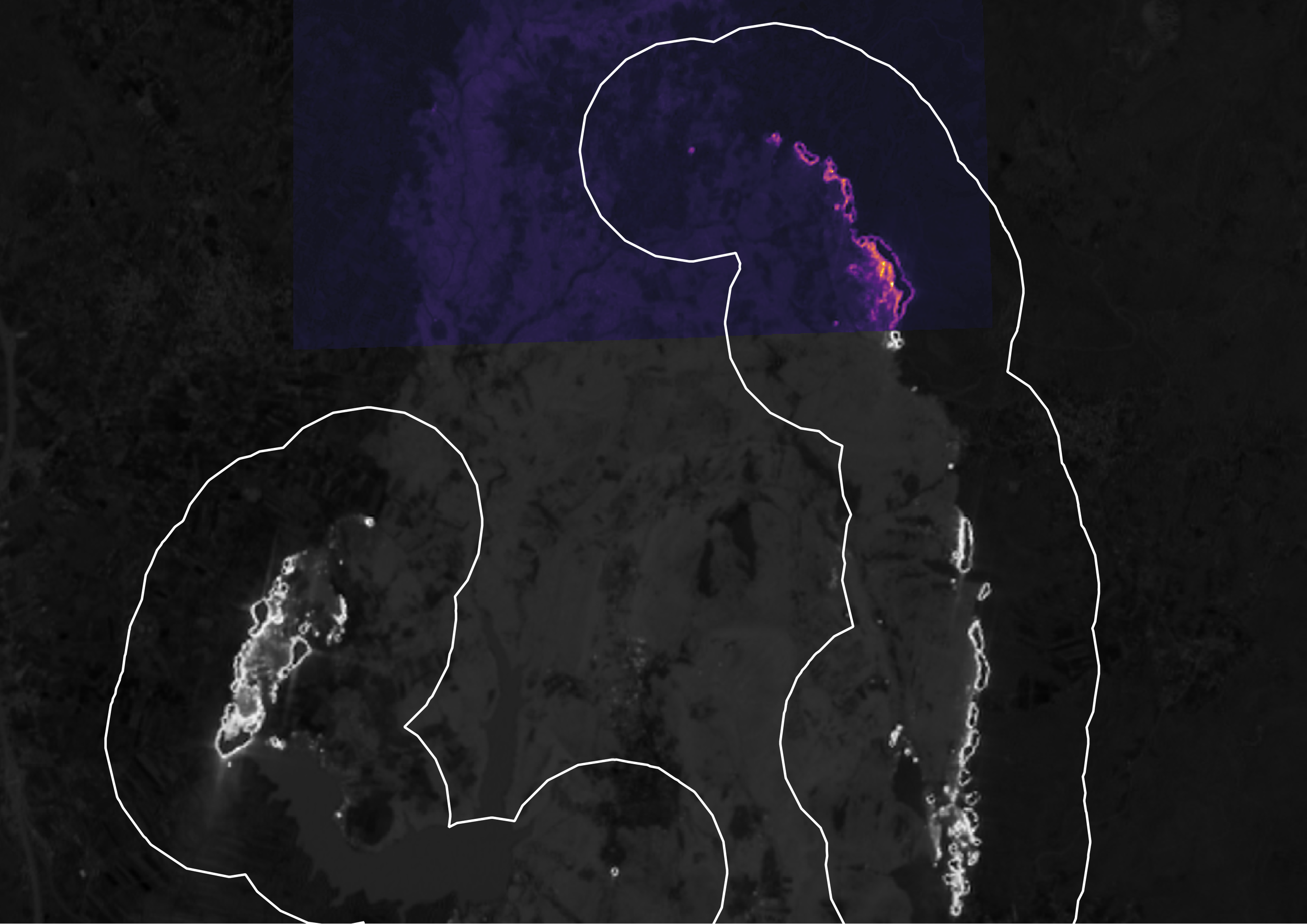
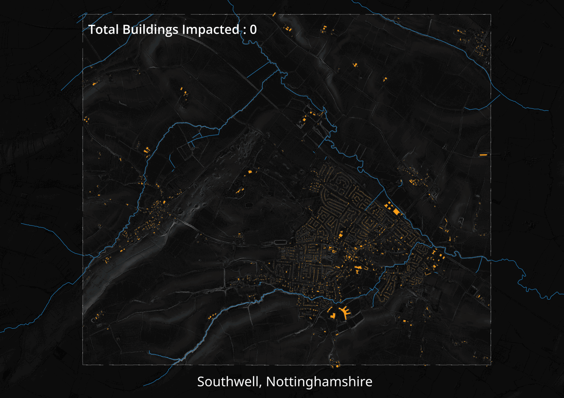
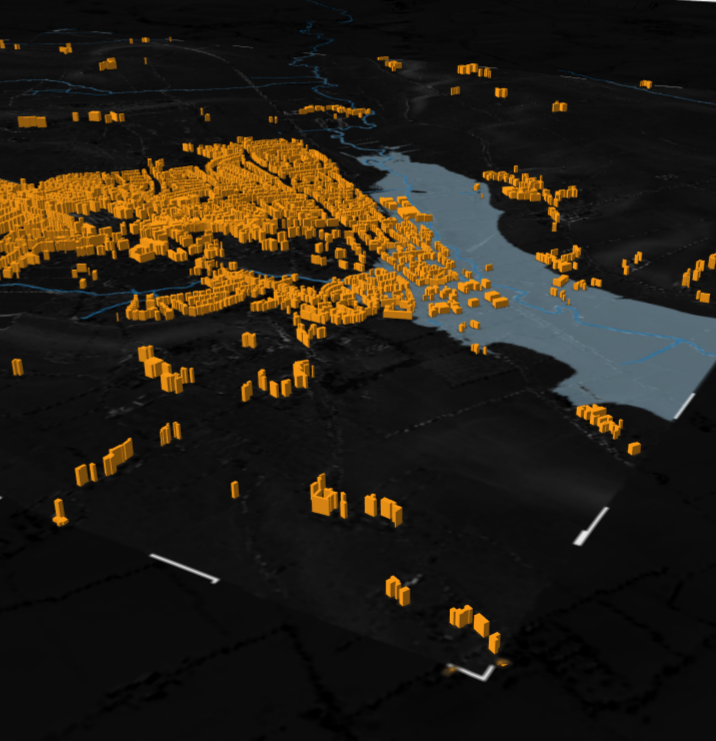
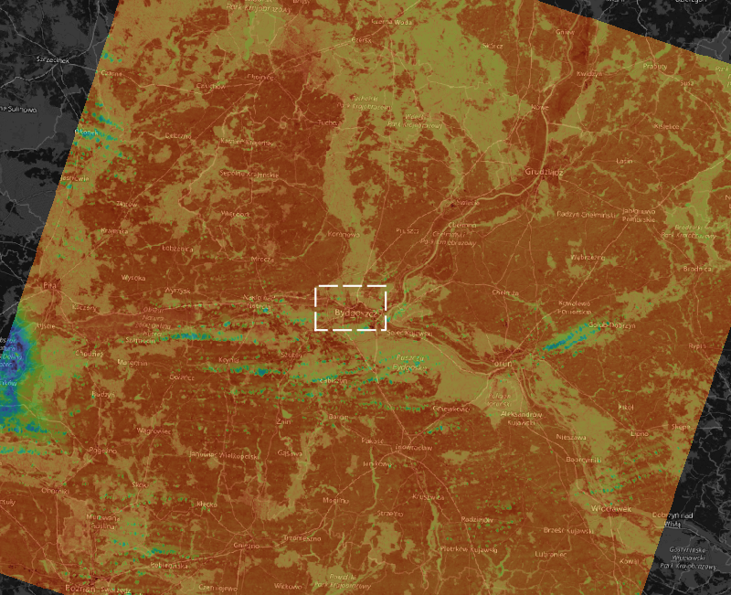
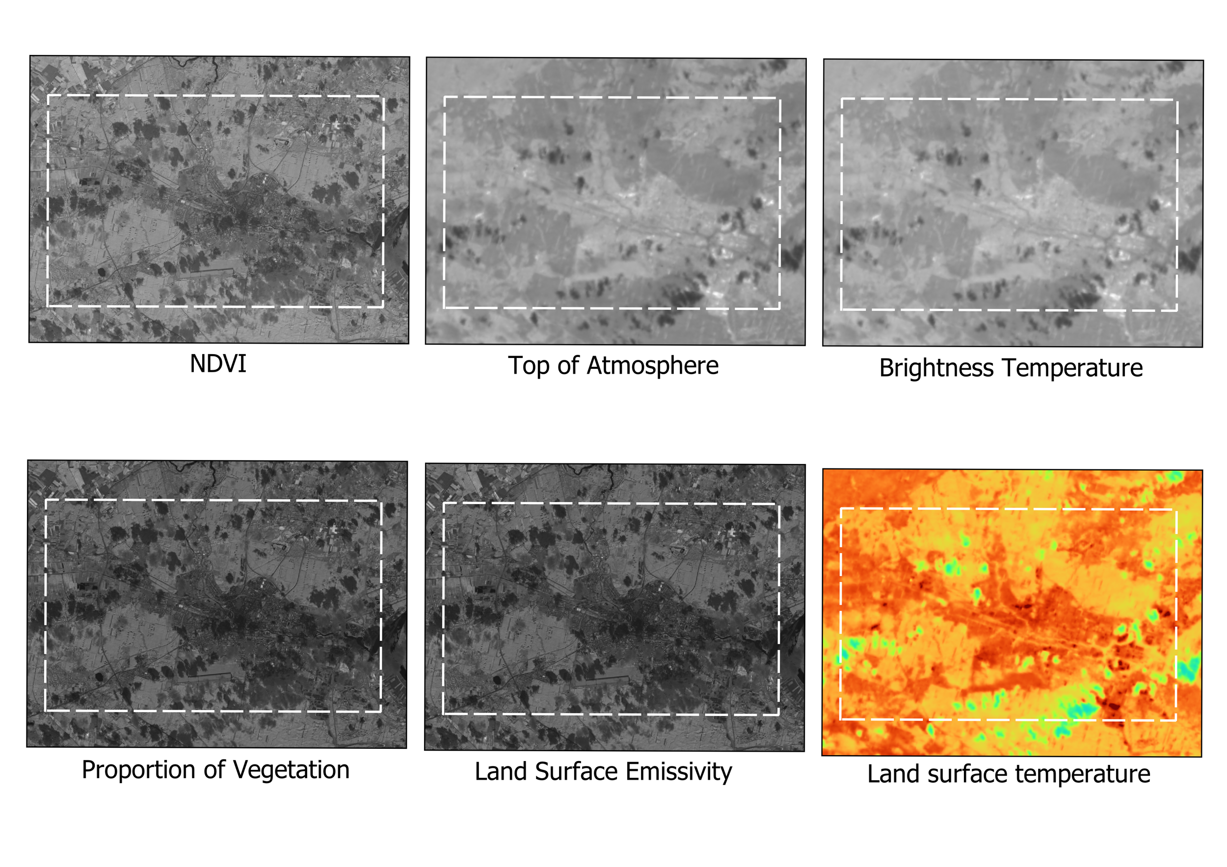
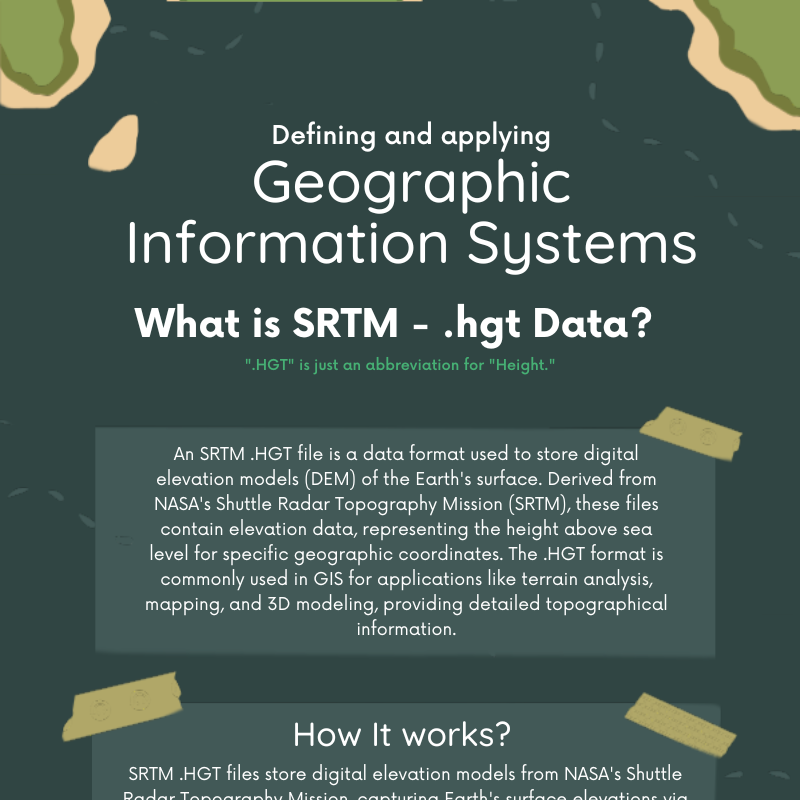
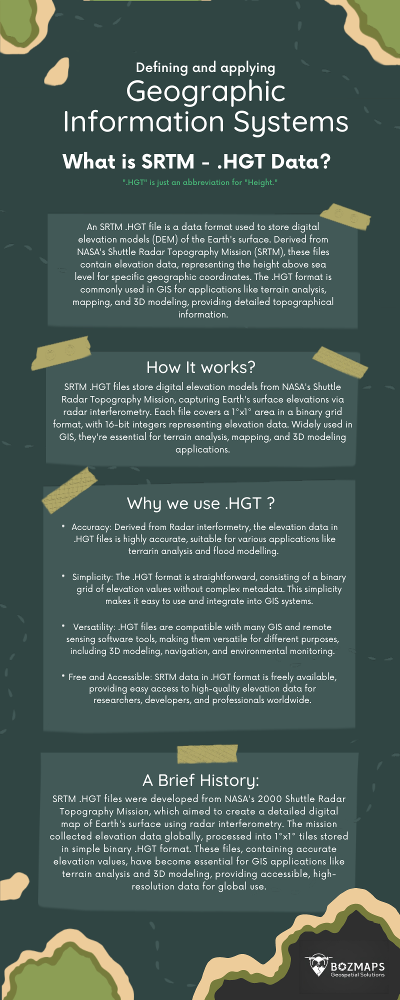
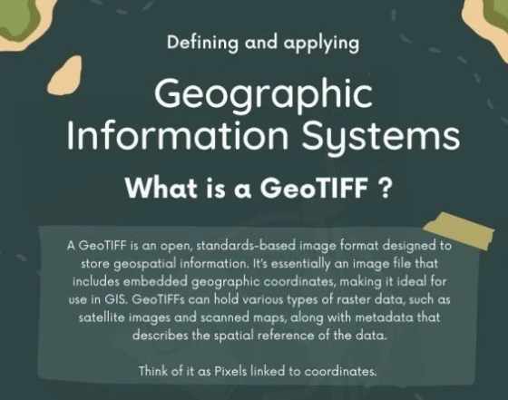
0
Skip to Content
Bozmaps
About
Services
GIS Services
Urban Planning
Professional Services
OpenSource Architecture
Bozmaps Verified
Digitisation
Portfolio
Success Stories
Allotment Management with GIS
Nottingham Flood and Park Management
Methane Mapping
Public Transport Accessibility
Burnham Flooding
Motorsport
Partners
Mergin Maps
SheFlies
Training
Training and Models
Online Course
MerginMapsTraining
Drone Services
Drone Services
Aerial Surveying
Property Management
Contact
Blog
Get Started
About
Folder: Services
Back
GIS Services
Urban Planning
Professional Services
OpenSource Architecture
Bozmaps Verified
Digitisation
Folder: Portfolio
Back
Success Stories
Allotment Management with GIS
Nottingham Flood and Park Management
Methane Mapping
Public Transport Accessibility
Burnham Flooding
Motorsport
Folder: Partners
Back
Mergin Maps
SheFlies
Folder: Training
Back
Training and Models
Online Course
MerginMapsTraining
Folder: Drone Services
Back
Drone Services
Aerial Surveying
Property Management
Contact
Blog
Get Started
Categories:

Training and Models

  • All |
  • QGIS |
QGIS Model - Tsunami Indunation Analysis
£1.00
QGIS Model - OSM Map Generator
£1.00
QGIS Model - Vulnerability Index (Environmental)
£1.00
QGIS Model – Landslide Susceptibility Modelling and Analysis
£2.00
QGIS Model – Wildfire Mapping : Automating Burn Index & Analysis
£2.00
QGIS Model - NDVI Analysis
£1.00
QGIS Model – NDVI & Change Detection Analysis
£1.00
QGIS Model - Flood Analysis
£1.00
QGIS Model - Land Surface Temperature
£1.00
QGIS Guide Coordinate Reference Systems and Reprojecting Layers
Sale Price: £2.00 Original Price: £5.00
Sale
SRTM HGT - Elevation Data Types
£0.00
Guide to Digitising
Guide to Digitising
£1.00
Creating a Shapefile and Styling using QGIS
Sale Price: £2.00 Original Price: £5.00
Sale
GIS Data Types PDF
GIS Data Types PDF
Sale Price: £0.00 Original Price: £0.00
Sale
ArcGIS Online Guide to making a Feature Layer
Sale Price: £1.00 Original Price: £3.00
Sale
ArcGIS Online Guide to Using Field Maps: Mobile Data Collection Made Easy
Sale Price: £1.00 Original Price: £3.00
Sale
ArcGIS Online Guide: How to Create and Customize Maps
Sale Price: £2.00 Original Price: £5.00
Sale

Unlock exclusive content and discounts

Sign up with your email address to receive news and updates

Thank you!

Find Us On Social Media

Subscribe

Sign up with your email address to receive news and updates.

We respect your privacy.

Thank you!