Our Education Partner
Building Geospatial Confidence


A partnership to train, support, and empower young minds.
About SHEFLIES
Founded by Adeola Akinwale - a Chartered Surveyor, GIS & Drone Analyst, and STEM advocate — SheFlies is an educational platform and community aimed at bridging the gender gap in drone technology and geospatial science.
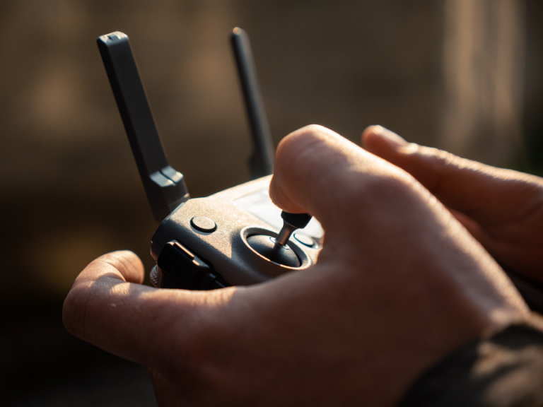
Since 2021, SheFlies has empowered hundreds of Nigerian schoolgirls and young people across Africa through hands-on drone training, virtual classes, and mentorship. With a strong focus on Unmanned Aircraft Systems (UAS).


Meet the Founder of SheFlies
Adeola Akinwale
Adeola Akinwale holds an MSc in Environmental Mapping from University College London and is a certified RICS Chartered Surveyor. With 10+ years of experience, she has led high impact mapping projects using drone and geospatial technologies across sectors.
As founder of SheFlies, she is committed to inspiring the next generation, particularly girls and young women to thrive in science, technology, and mapping.
SheFlies equips learners with drone skills applicable to:
Surveying & Mapping
Agriculture & Environmental Monitoring
Infrastructure Inspection
Medical & Emergency Delivery Operations
Through structured courses and outreach, SheFlies continues to be a driving force in building confidence, competence, and career readiness among future drone professionals.
Our Shared Vision
At the heart of our partnership is a shared commitment to empowering young people with real-world geospatial skills.
-
We aim to spark curiosity in young learners by showing them how geospatial tools can help them understand the world around them and solve real problems
-
Our workshops and training sessions give students the chance to work directly with technologies like QGIS and drones, learning by doing, not just by watching.
-
We connect students with professionals and mentors who can guide them, answer questions, and help them see what’s possible in the world of STEM and geospatial careers.
-
We make sure everyone feels welcome, supported, and able to participate, especially girls and under-represented groups in science and tech.
-
From mapping local areas to planning drone missions, learners will leave with tangible projects they can share with schools, employers, or future collaborators.
What we Offer
Training Courses
GIS - QGIS (Beginner and Advanced)
Introduction to Drone Technology
Drone Safety & Operations
Scratch Programming for Autonomous Flight
FPV Racing & Simulation
Community & Mentorship
Female-led mentorship network
Career talks and speaker sessions
Peer-to-peer support groups
Certification and project showcases
Get Involved
We welcome collaboration from educators, schools, youth groups, drone operators, geospatial professionals, and funders who want to be part of this mission.
Whether through volunteering, sponsoring students, or sharing knowledge, your contribution helps empower the next generation of spatial thinkers.