Geospatial Solutions.
For Your Business.
Transforming Allotment Management:
A Case Study of St. Ann's Allotments, Nottingham
Steeped in history, St. Ann's Allotments in Nottingham, England, is a captivating Grade II listed heritage site. Its story stretches back to the 16th century, evolving from a recreational area for Nottingham's citizens to a vital source of fresh produce for the local community through its transformation into allotment gardens in the 18th century.
The Challenge:
Prior to partnering with Bozmaps, the allotment team relied on manual methods to manage their extensive land area, plots, and daily tasks. This approach limited their ability to track crucial information such as plot location, water features, and allotment usage effectively.
The Solution:
We developed a user-friendly GIS platform on ArcGIS Online, featuring digital maps for plot and amenity tracking, a streamlined data management system, and integrated field maps that allow staff to conduct surveys and monitor activity on-site. This solution has improved data accessibility, streamlined decision-making, and boosted overall operational efficiency for St. Ann's Allotments.
Result:
The ArcGIS Online GIS platform equips St. Ann's Allotments with: clear digital maps for visualising plots and amenities, a streamlined data management system for accurate allotment information, and integrated field maps empowering staff to conduct surveys and monitor activity on-site – all for efficient and sustainable management.
Discover how Bozmaps transformed a historical site into a modern marvel.
-
We provided the team with training on using Esri Mobile Applications, creating layers from scratch at base, and capturing data in the field using their mobile devices. This has enabled the team to efficiently gather data on site features like water taps, trees, and fences, conduct surveys, and manage maintenance tasks. This new approach has improved the allotments' efficiency, accuracy, and transparency in managing their site.
-
Location intelligence has revolutionised the way the allotment team manages the site, enabling them to make data-driven decisions that improve efficiency, sustainability, and overall site health. From detailed site mapping to predictive analytics, spatial data has transformed the allotment team's ability to plan, track issues, and optimise resources. This data-driven approach is crucial for maintaining the allotments as a thriving community asset.
-
To help the allotment team leverage the power of spatial data, Bozmaps provided comprehensive training that included hands-on exercises, tailored workflows, step-by-step guides, and tutorials. This hands-on approach ensured that the team not only understood the theoretical concepts but also gained practical skills in using Esri's ArcGIS Online system to capture and manage data. By empowering the team to become skilled and self-sufficient in data capture, Bozmaps facilitated the adoption of a data-driven approach to allotment management. This training equipped the team with the knowledge and tools to effectively plan, track issues, and optimise resources, ultimately enhancing the overall efficiency and sustainability of the allotments.
From Chaos to Clarity: Data with Bozmaps.

This project transformed how organisations manage and utilise their data. The web portal empowers staff with easy access to critical information, while the clear spatial visualisations offered by the map interface foster a deeper understanding of complex datasets. Additionally, Power BI integration facilitates in-depth data analysis, enabling organisations to make data-driven decisions for proactive maintenance planning and optimised resource allocation. Ultimately, Bozmaps' solution has led to increased operational efficiency and improved service delivery.
Disorganised data is a common challenge across many organisations. For UK councils and boroughs, this often meant inconsistent and outdated geospatial data stored in various formats. This fragmented data landscape hindered accessibility, analysis, and ultimately, informed decision-making. Furthermore, the lack of user-friendly visualization tools limited staff's ability to gain spatial insights, making it difficult to understand complex trends and patterns.
Bozmaps' Solution: Empowering Data
Bozmaps addressed these challenges by implementing a comprehensive data management and visualisation solution. We digitised data in written or excel format, meticulously cleaning and standardising already digitised assests from shapefile into a GeoJSON format specifically designed for our in house web application. This streamlined data accessibility and ensured seamless integration with the web portal we developed. The portal provides a central hub for council staff, allowing them to access and explore their data on a user-friendly map interface. Furthermore, we partnered with Car Surveys (CS) to integrate high-resolution aerial imagery, enriching the visualisation experience and providing valuable context for spatial analysis.
Results: Enhanced Decision Making Through Data Insights
Veridian Insight: Cultivating Sustainable Practices Through Spatial Intelligence
Veridian Insight is a data-driven consultancy that empowers organizations to implement and monitor sustainable practices. They leverage Geographic Information Systems (GIS) technology to provide clients with actionable insights for optimizing environmental impact and resource management.

Veridian Insight gained a significant edge in promoting sustainable practices. Spatial intelligence empowers them to analyse environmental issues within their geographical context, leading to more effective solutions.
Geospatial insights enable them to develop and implement data-driven strategies for optimal environmental impact reduction. A centralized database and automated updates streamlined data management, saving time and minimizing errors.
Additionally, QGIS training equips Veridian Insight's team with the skills to leverage GIS technology for impactful sustainability initiatives. Now equipped with a robust and dynamic GIS system, Veridian Insight can optimize their environmental data management, make data-driven decisions, and contribute to a more sustainable future.
The Challenge:
Limited Spatial Awareness: Asset data lacked location intelligence, restricting Verdian Insight's ability to assess the geographical context of environmental issues.
Data Silos & Inefficiency: Information was fragmented across spreadsheets, making it difficult to analyze performance and identify potential problems promptly.
Manual Processes: Repetitive data entry and updates in spreadsheets were time-consuming and prone to errors.
The Bozmaps Solution:
Bozmaps transformed Veridian Insight's approach to sustainability through a comprehensive GIS solution:
Centralised Data Hub: Bozmaps migrated Veridian Insight's asset data from Excel spreadsheets to a secure PostgreSQL database hosted on AWS. This ensured data integrity, accessibility, and facilitated seamless analysis.
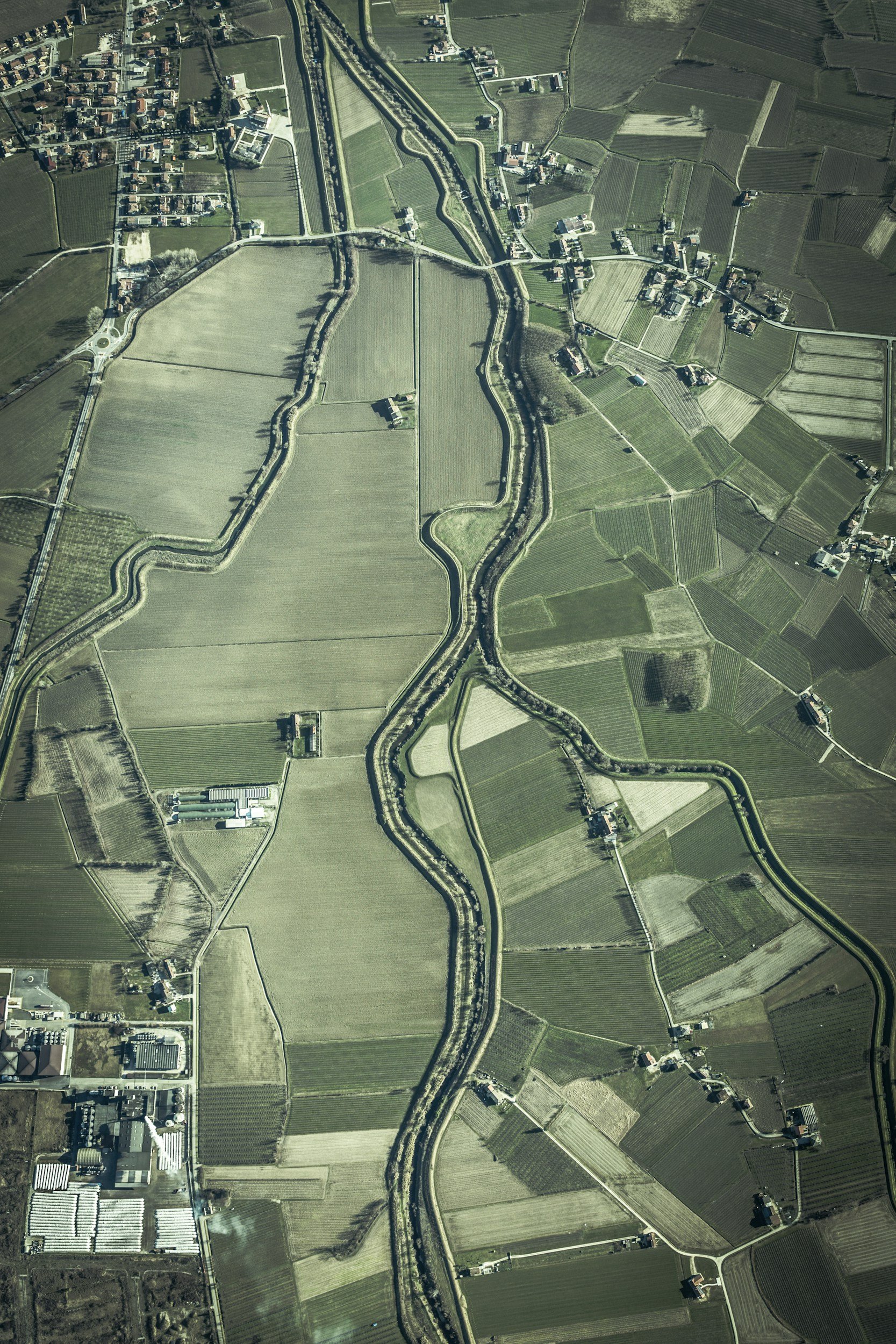
Spatial Intelligence with High-Resolution Imagery: We integrated high-resolution satellite imagery with the database. This allowed Veridian Insight to visualize their assets geographically for the first time, enabling them to identify patterns and relationships between environmental factors.
QGIS Training & Empowerment: Our team provided Veridian Insight staff with customized QGIS training, including tutorials and user guides. This empowered them to confidently navigate the GIS platform, conduct spatial analysis, and generate insightful reports.
Dynamic Visualizations for Clear Insights: Bozmaps created compelling visual outputs like maps and dashboards. These visualizations provided Veridian Insight with clear and actionable insights into asset locations, environmental performance, and potential sustainability risks.
Continuous Monitoring & Automated Updates: High-resolution satellite imagery facilitated continuous monitoring of environmental assets over time. Changes were automatically reflected in the PostgreSQL database, ensuring Veridian Insight had access to the most up-to-date information.
Real-Time Decision Making: Interactive dashboards and maps provided Veridian Insight with real-time asset updates. This empowered them to make proactive decisions, optimize resource allocation, and minimize environmental impact.