
Geospatial Solutions for World Builders
Why GIS for Architecture & Urban Planning?
-
We help situate your designs within the actual spatial fabric of a site. Our base mapping integrates zoning regulations, elevation models, transportation networks, land ownership, utilities, and land use layers, providing a holistic understanding of constraints and opportunities before design begins.
-
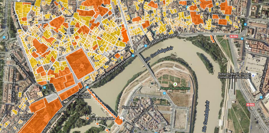
Support collaboration and community engagement with clear, compelling visualizations. We create high-quality static maps and interactive web platforms that make it easy to communicate complex spatial ideas during public consultations, client reviews, and design workshops.
-
Use spatial analysis to assess site potential with precision. We run multi-criteria evaluations to uncover the best locations for development, identify gaps in connectivity, evaluate pedestrian access, and flag environmental concerns, enabling more strategic, informed planning from day one.
-
Ensure your concepts align with policy and real-world conditions. We provide layered mapping of planning constraints such as flood zones, protected areas, height restrictions, and heritage designations. Combined with access and utility infrastructure data, our outputs support feasibility studies and early approvals.

At Bozmaps, we partner with architecture and urban design firms to unlock the power of spatial data, enhancing how you plan, design, and communicate your vision for better cities.
Site Selection & Suitability
Multi-Criteria Site Suitability Analysis (MCE/AHP)
Zoning Compliance Mapping
Flood Risk Overlay Analysis
Heritage / Protected Area Constraints Mapping
Parcel Ownership & Availability Mapping
Brownfield vs. Greenfield Site Comparison
Bozmaps Services

3D Urban Context & Viewshed Mapping
Line-of-Sight and Visibility Analysis
Tree Canopy & Green Space Coverage Mapping
Pre-vs-Post Development Visualisations
Cultural Corridor or Heritage Overlay Design Support
3D Urban Massing Simulation (QGIS/Blender)

Community & Demographics
Population Density & Housing Type Mapping
Equity & Inclusion Mapping (e.g. underserved areas)
Proximity to Healthcare, Schools, Parks
Community Amenity Gaps (Service-Area Mapping)
Ageing Population / Child Population by Neighborhood
🤝 Who We Work With
Urban Design Studios
Planning Consultants
Architecture Practices
Public Space Designers


🏛️Case Study: Preserving Heritage in a Modern City
Sarajevo Vijećnica – Spatial Analysis for Urban Planning & Cultural Conservation
Location: Sarajevo, Bosnia and Herzegovina


At Bozmaps, we believe urban planning should be data-driven, context-sensitive, and deeply human. Whether it's mapping walkable neighborhoods, modeling green infrastructure, or balancing development with heritage preservation, we use powerful geospatial tools like QGIS to bring clarity to complex planning decisions. Our workflows are designed to help cities grow smarter — integrating transport networks, land use, and public space into actionable spatial strategies.
Take, for example, our recent case exploring multi-modal transport around Sarajevo’s iconic Vijećnica. By analyzing bicycle, tram, and vehicle accessibility, we identified key gaps in infrastructure and visual impacts on the heritage zone. It’s just one way Bozmaps supports planners, architects, and communities in designing spaces that are functional, inclusive, and resilient.
💬 Let’s Build Smarter, More Inclusive Places
Book a discovery session or explore how our GIS workflows can support your next urban planning project.
📩 Contact us - semir@Bozmaps.com
🌐 Or book a demo session through our contact page.