
Location Answers for the Work You Do
Pick your industry, then a tool. Every answer comes with a map, a report and the sources behind it.
This is the preview site. The industry tools show example runs made with the Bozmaps engine, and Ask Bozmaps answers with light checks on public data.
Choose Your Industry
Each tool gives the answer, a live map, the key figures and a full report you can share.
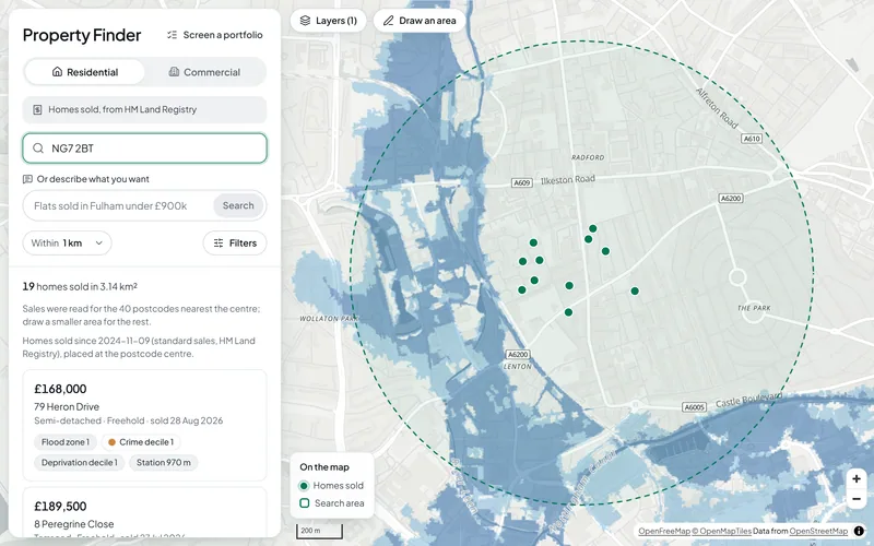
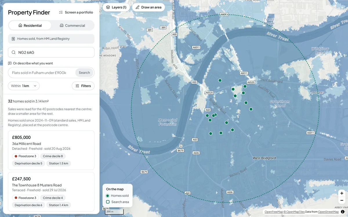
Find homes and commercial space, with the area and risk checks already attached.
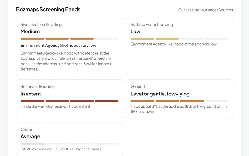
Screen one property or a whole book for flood exposure, terrain and neighbourhood risk.
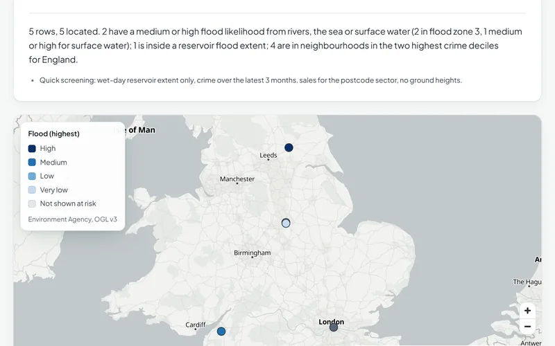
Check the security behind a loan: the building, the area around it and the risks it carries.
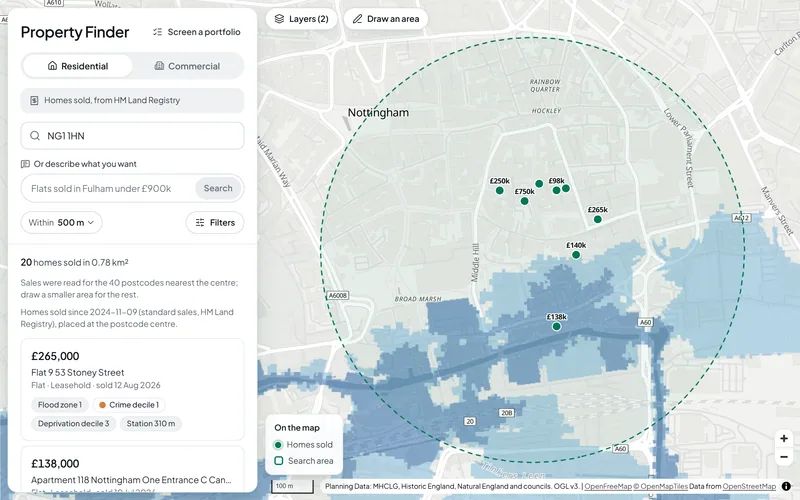
The five site checks for any site in England: give a postcode, draw it or upload a plan.
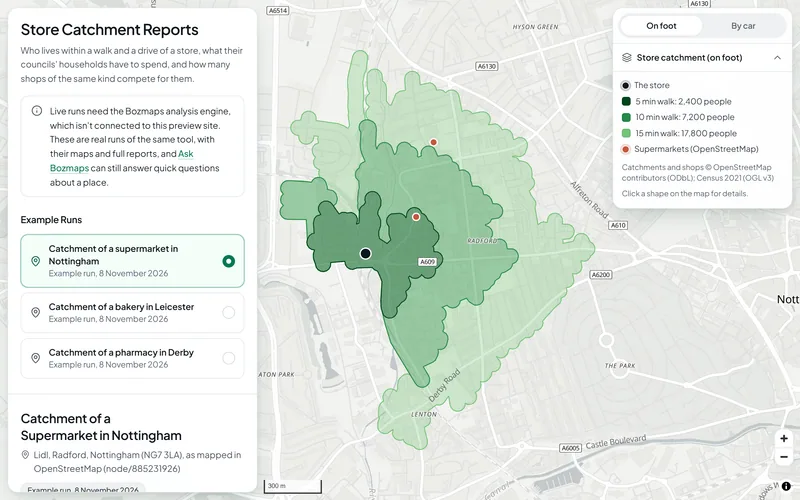
See who lives within a walk or a drive of a store, what they have to spend and how many shops compete for them.
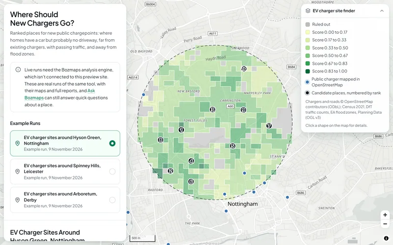
Find where new public chargepoints would serve the homes that have a car but no driveway.
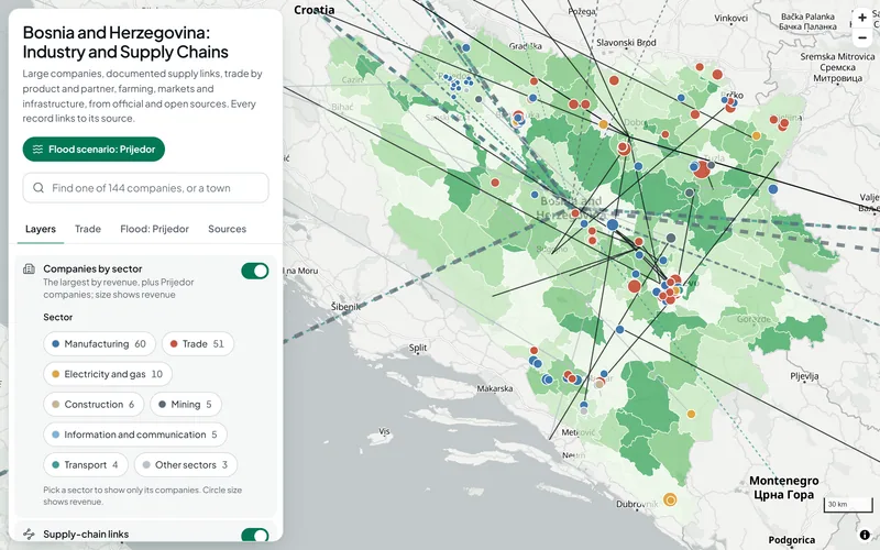
Bosnia and Herzegovina
An industry map of Bosnia and Herzegovina.
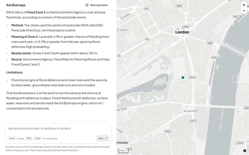
Ask Bozmaps
Ask in plain English. Bozmaps runs the right checks, shows them on the map and only tells you what the checks found.
Need These Checks Run for Your Sites?
Send us the addresses or outlines. We run the full checks on the Bozmaps engine, including the ones this site shows as examples, and a person reviews every report.
Answers come from official open data (the Environment Agency, the Office for National Statistics, HM Land Registry and others) and from OpenStreetMap. Every source, its licence and what each check covers