
Planning constraints
What designations are on or near the site?
Conservation areas, listed buildings, Article 4, tree preservation orders, green belt, flood zones and nature sites. Also says where the council hasn't published its data.
England
Five checks for any site in England: give a postcode, draw the outline or upload a plan, and get the answer, a live map, the figures and a full report.
What designations are on or near the site?
Conservation areas, listed buildings, Article 4, tree preservation orders, green belt, flood zones and nature sites. Also says where the council hasn't published its data.
Who lives around here, and what is the area like?
Census 2021 people and homes, deprivation, house prices and recorded crime, compared with the council and the country.
How many people live within a walk, cycle or drive?
Travel-time areas on the real road and path network, with the people and households inside each one.
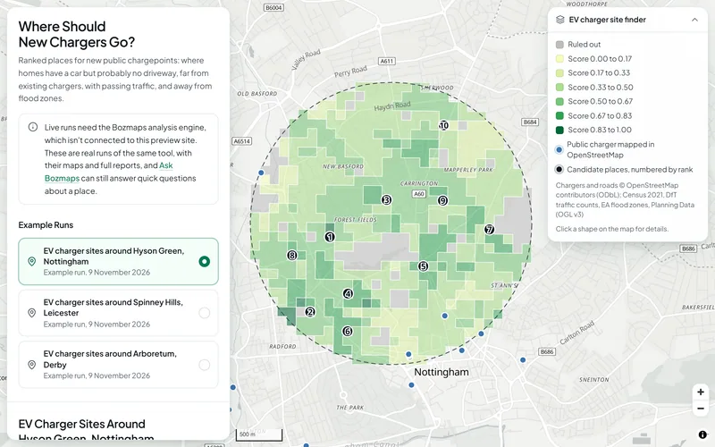
Where are the best sites nearby?
Rules out protected and flood-prone land, scores the rest on what matters to you, ranks the best sites and tests how firm the ranking is.
How exposed is the site to flooding, and what is the ground like?
Flood zones, flood likelihood from rivers, the sea and surface water, reservoirs, ground height, slope and where rainwater runs.