Location Answers by Industry
The checks each industry needs about a place, from the same official open data, with the limits of each written down.
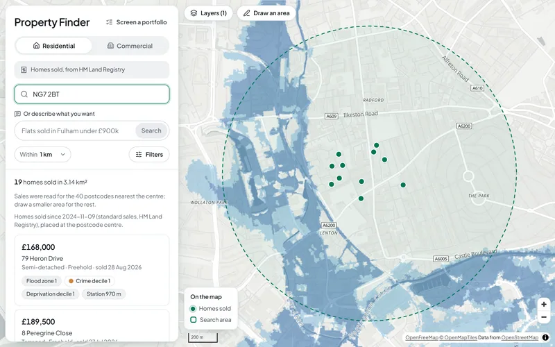
PropertyFlood exposure, planning designations, crime, deprivation and recent sales for any address in England, from official open data. For agents and investors.
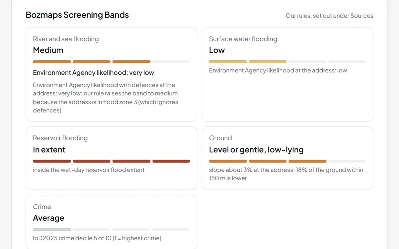
InsuranceScreen one address or up to 200 for flood zones, flood likelihood, reservoirs, ground and crime, from Environment Agency, police.uk and other open data.
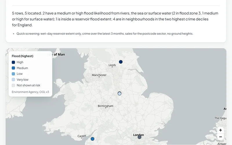
Finance and LendingCheck sale prices, flood exposure, crime and deprivation behind a loan, for one property or up to 200, from HM Land Registry and Environment Agency data.
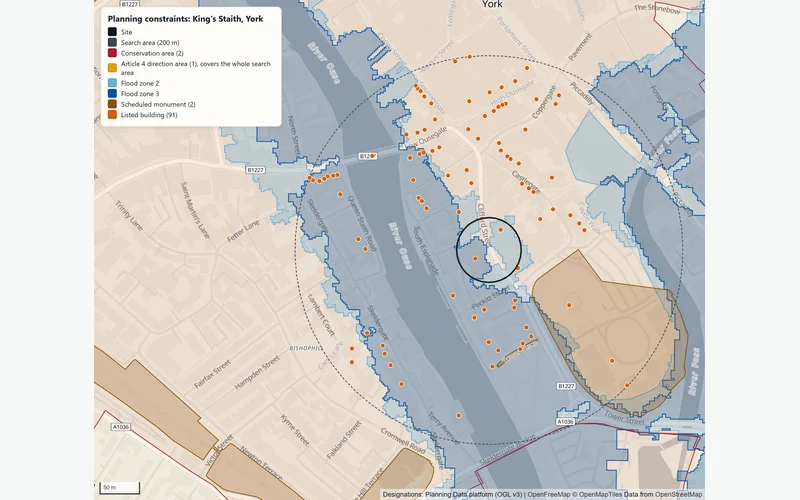
Planning and DevelopmentPlanning constraints, area profile, travel-time reach, site finder and flood and terrain checks for a site in England, run for you and checked by a person.
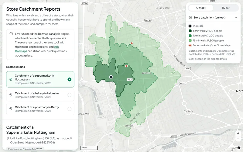
RetailWho lives within a walk or drive of a store, what their councils' households have to spend and how many shops compete, from Census 2021 and OpenStreetMap.
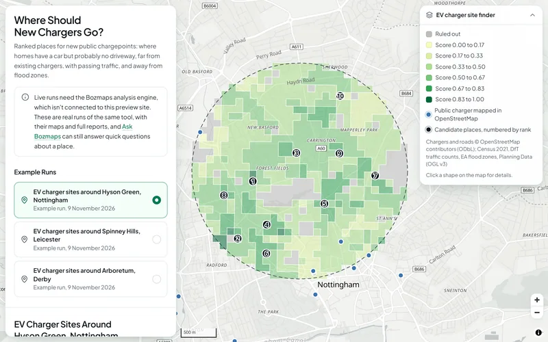
EV ChargingRanked places for new public chargepoints: homes with a car but probably no driveway, gaps between chargers, passing traffic and flood zones ruled out.
Want These Checks Run for Your Sites?
Send us the addresses or the site outlines. We run the full checks on the Bozmaps engine, and a person reviews every report before it reaches you.