The Landslide Susceptibility Modelling and Analysis QGIS Model is a fully automated, no-code geoprocessing tool designed to identify, visualize, and quantify landslide-prone areas using key environmental variables. Built using QGIS's Graphical Modeler, this tool integrates terrain analysis, vegetation health, precipitation, and land cover data to generate a weighted susceptibility map and classify zones into actionable risk levels.
Whether you're working in environmental risk assessment, civil engineering, urban planning, or academic research, this model provides a reliable and scalable method for terrain-based hazard analysis — without writing a single line of code.
 Image 1 of 7
 Image 2 of 7
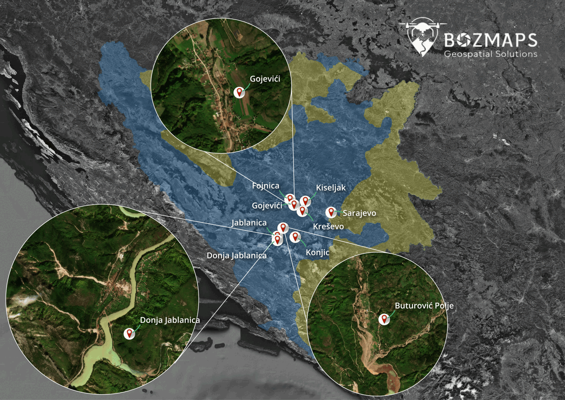 Image 3 of 7
 Image 4 of 7
 Image 5 of 7
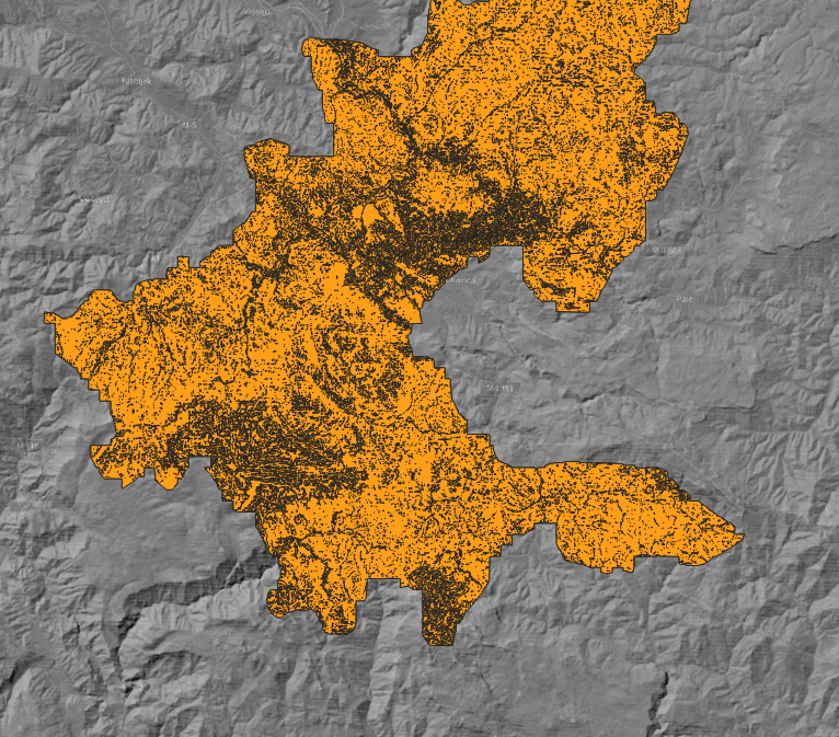 Image 6 of 7
 Image 7 of 7