 Image 1 of 5
 Image 2 of 5
 Image 3 of 5
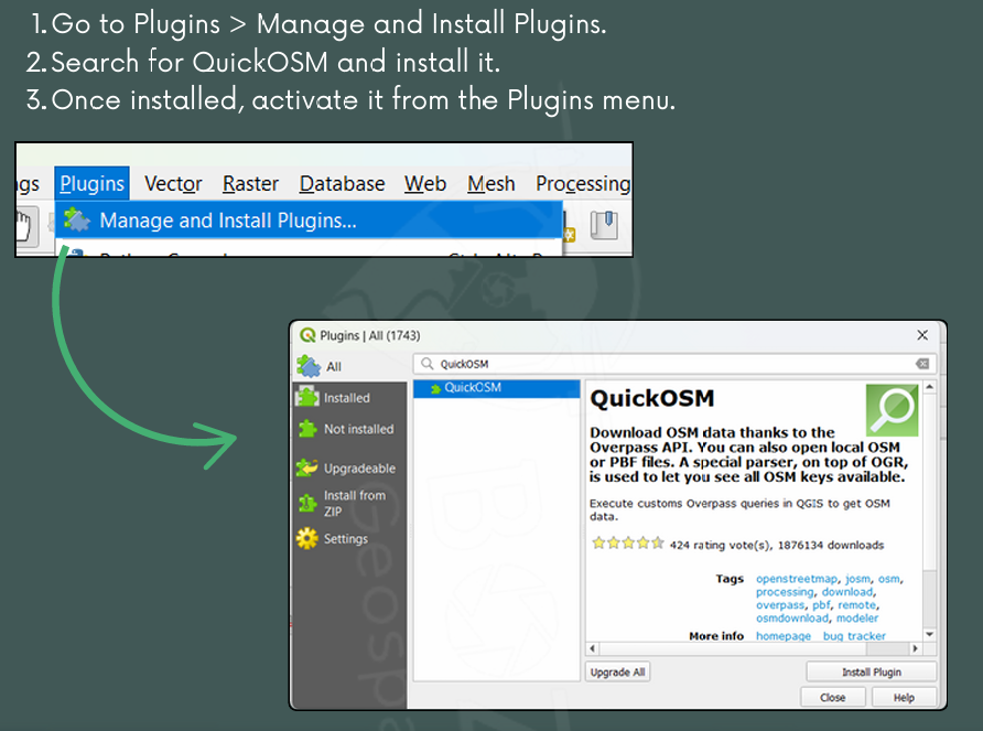 Image 4 of 5
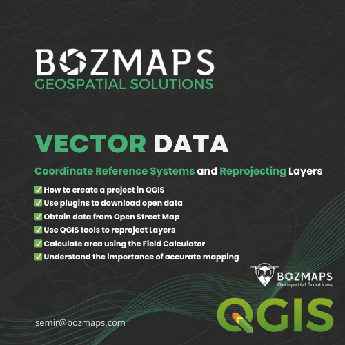 Image 5 of 5
Master Coordinate Reference Systems (CRS) in QGIS with this comprehensive guide! Learn how to reproject layers, calculate area accurately, and compare global vs. local projections. This step-by-step tutorial walks you through creating a project, using plugins to download OpenStreetMap data, and applying geoprocessing tools in QGIS. Ideal for GIS users and professionals looking to enhance their skills. Download now at Bozmaps.com/shop.
Master Coordinate Reference Systems (CRS) in QGIS with this comprehensive guide! Learn how to reproject layers, calculate area accurately, and compare global vs. local projections. This step-by-step tutorial walks you through creating a project, using plugins to download OpenStreetMap data, and applying geoprocessing tools in QGIS. Ideal for GIS users and professionals looking to enhance their skills. Download now at Bozmaps.com/shop.