The Flood Risk Analysis Model is an open-source QGIS tool that automates flood impact assessments using DEM, DSM, and AOI data. Designed by Bozmaps, it streamlines raster calculations and generates vector outputs to identify at-risk buildings, infrastructure, and areas under different flood scenarios, ideal for rapid decision-making, planning, and community risk analysis.
The Flood Risk Analysis Model is an open-source QGIS tool that automates flood impact assessments using DEM, DSM, and AOI data. Designed by Bozmaps, it streamlines raster calculations and generates vector outputs to identify at-risk buildings, infrastructure, and areas under different flood scenarios, ideal for rapid decision-making, planning, and community risk analysis.
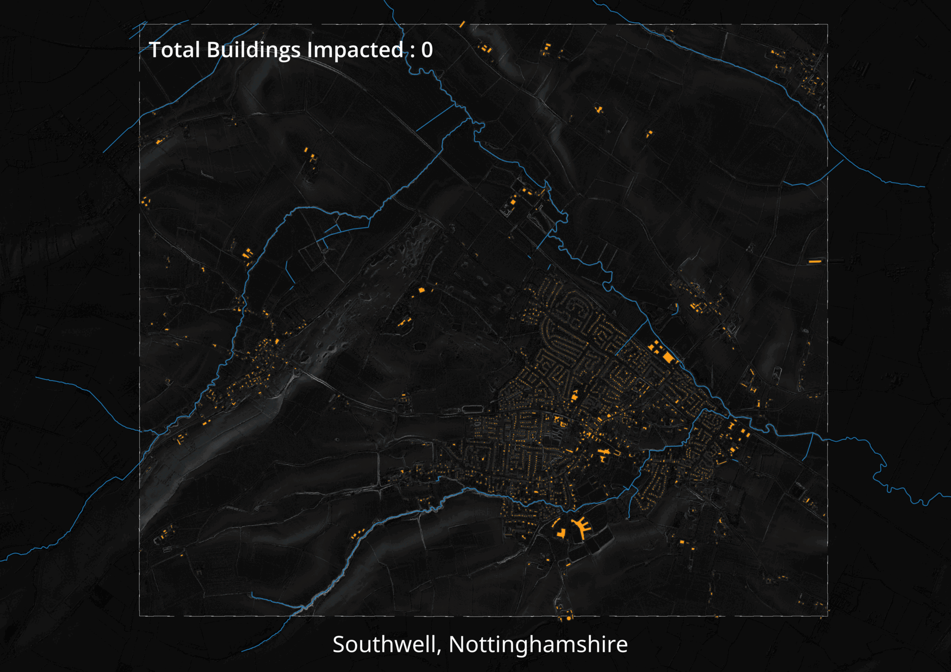 Image 1 of 6
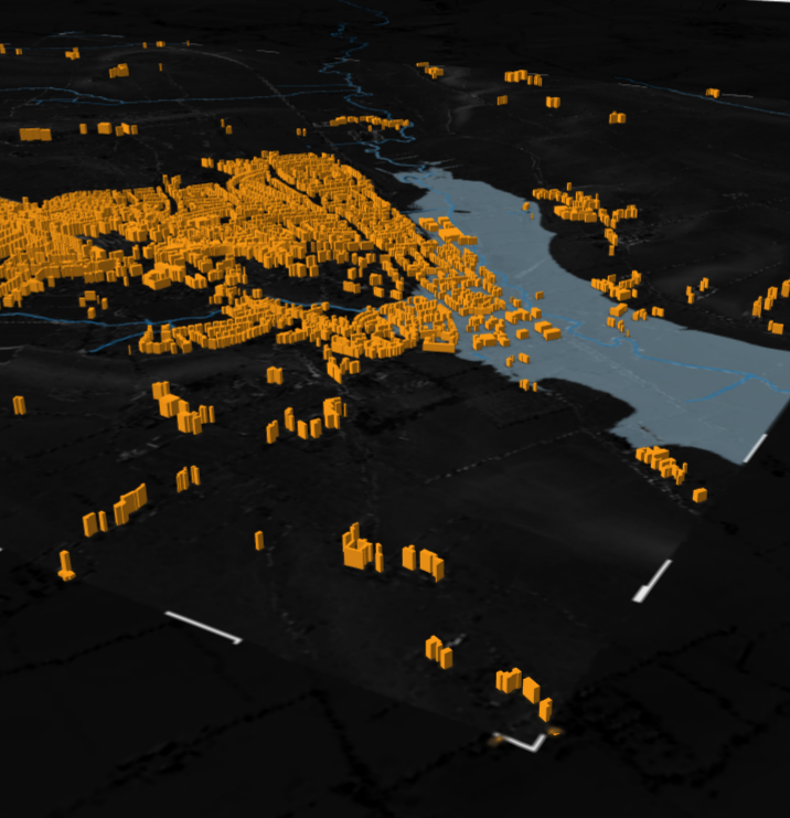 Image 2 of 6
 Image 3 of 6
 Image 4 of 6
 Image 5 of 6
 Image 6 of 6