 Image 1 of 3
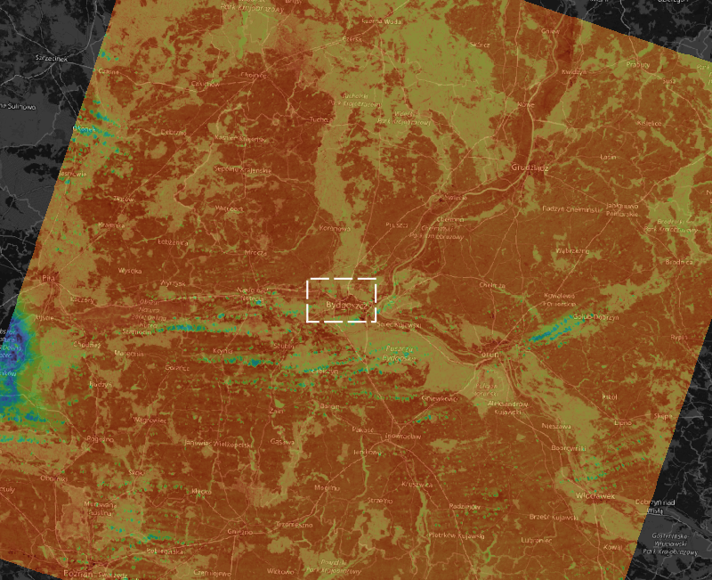 Image 2 of 3
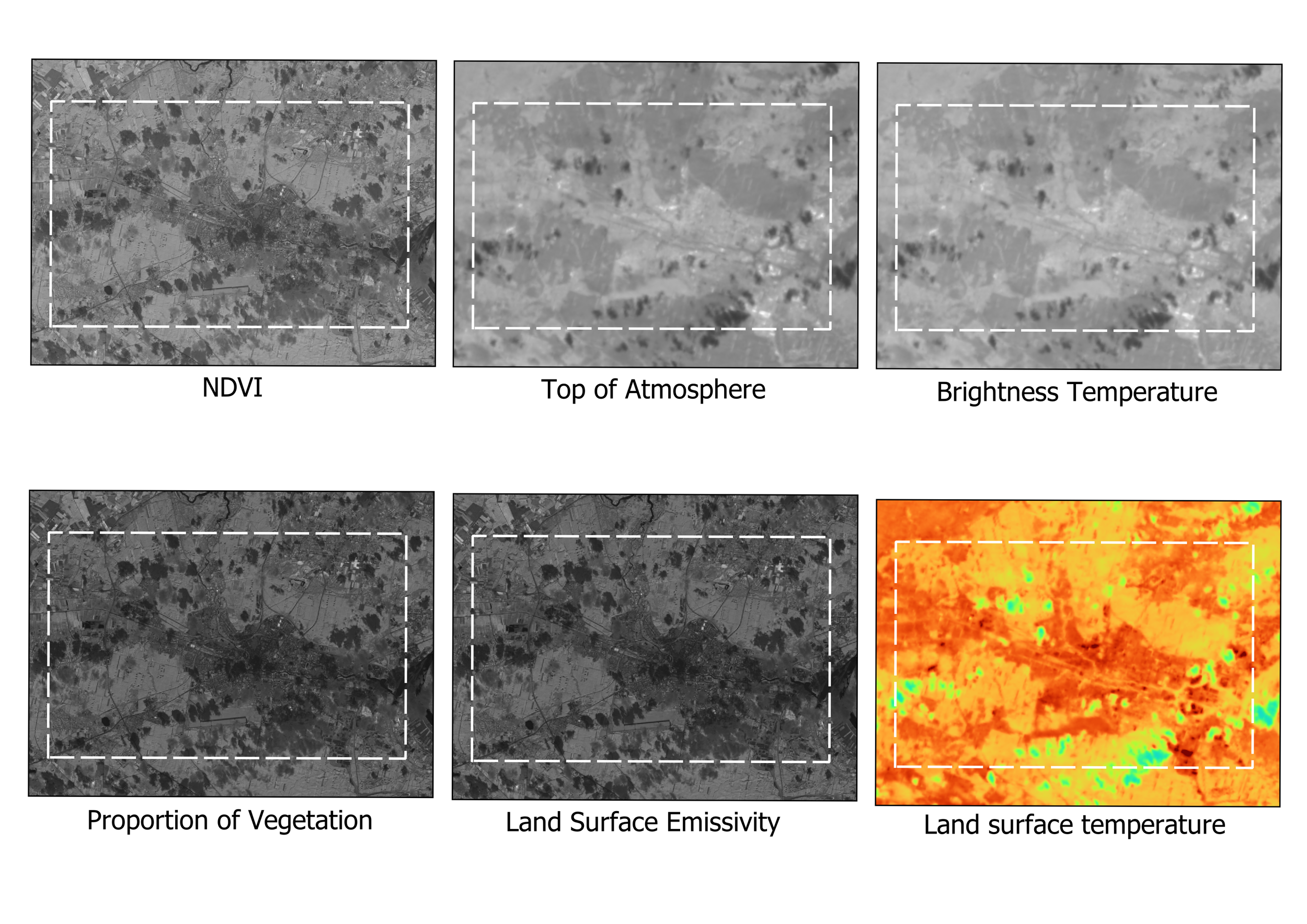 Image 3 of 3
A ready-to-use QGIS model that calculates Land Surface Temperature (LST) from Landsat 8 or 9 imagery using Bands 4, 5, and 10. The workflow includes radiometric calibration, NDVI-based emissivity correction, temperature conversion, and spatial summarisation with hexagonal zonal statistics.
Ideal for environmental monitoring, urban heat analysis, and agricultural studies.
No coding required — plug in your data and generate accurate LST maps.