 Image 1 of 4
 Image 2 of 4
 Image 3 of 4
 Image 4 of 4
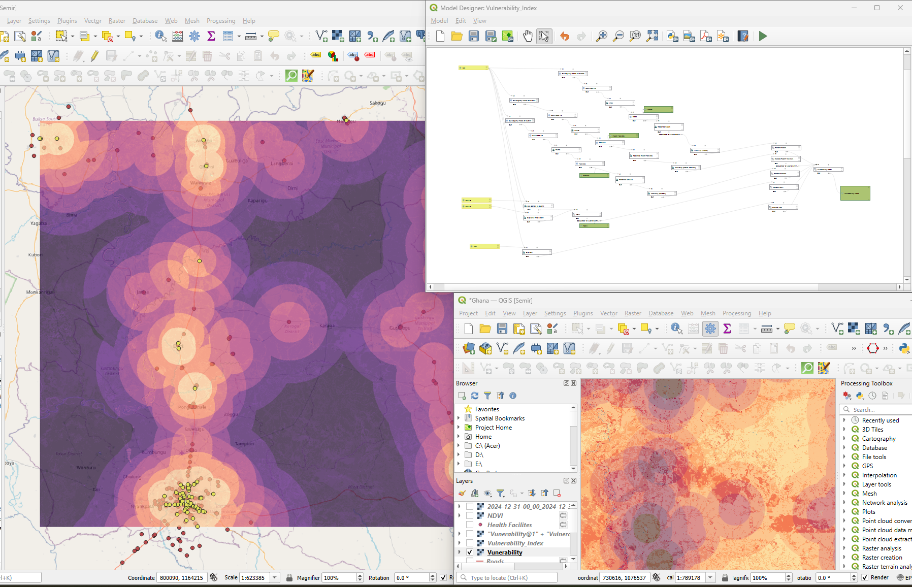
The Bozmaps Vulnerability Index Model is an automated QGIS workflow designed to assess service access and environmental vulnerability using satellite and open data. It integrates NDVI, land cover, and proximity to health, schools, and roads to generate a weighted spatial vulnerability index. Built for CSR planning, environmental risk assessment, and development prioritization, no coding required.
The Bozmaps Vulnerability Index Model is an automated QGIS workflow designed to assess service access and environmental vulnerability using satellite and open data. It integrates NDVI, land cover, and proximity to health, schools, and roads to generate a weighted spatial vulnerability index. Built for CSR planning, environmental risk assessment, and development prioritization, no coding required.