 Image 1 of 2
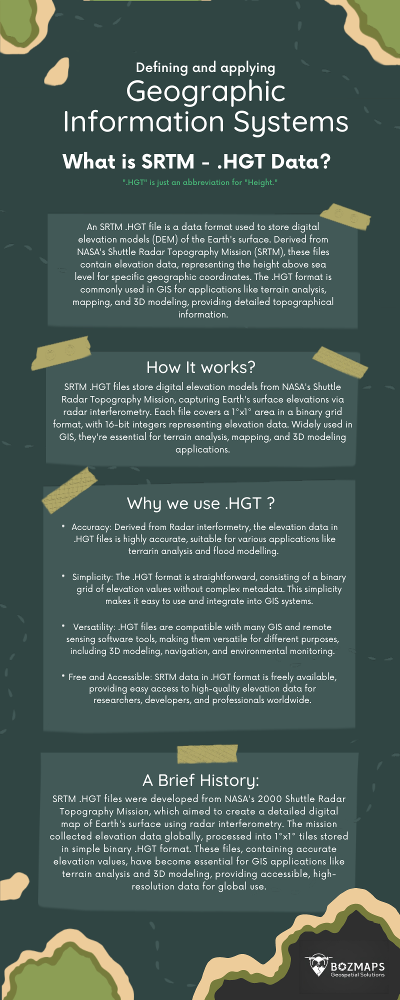 Image 2 of 2
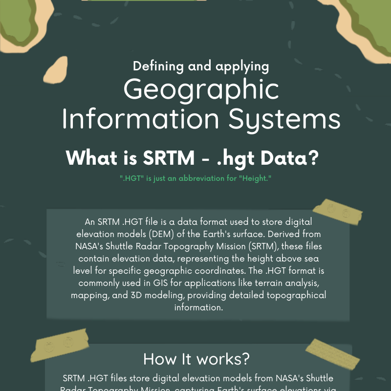
Dive into the world of .HGT files with this comprehensive PDF guide! 🌍 Learn about the rapid development, history, and essential use cases of .HGT files, derived from NASA’s Shuttle Radar Topography Mission (SRTM). Understand how these 1°x1° tiles of elevation data are crucial for GIS, terrain analysis, and 3D modeling. Plus, discover a quick tip on how to export .HGT data into TIFF format using QGIS. Perfect for GIS professionals and geospatial enthusiasts! 📊🌐
.HGT files, SRTM, Shuttle Radar Topography Mission, elevation data, GIS, terrain analysis, 3D modeling, QGIS, export TIFF, geospatial, PDF guide.